

Dr Wang Sheng-Wei embarks on a journey to study ancient maps and traces Zheng He’s forgotten voyages to search for historical truth
- The inspiration behind Dr Wang Sheng-Wei’s research into pre-Columbian Chinese exploration
- Why the Kunyu Wanguo Quantu became central to Dr Wang’s historical argument
- Challenging Eurocentric narratives through cartographic and linguistic analysis
By Lin Siu-loong
FOR MORE than five centuries, the dominant narrative of world exploration has centred on European navigators such as Christopher Columbus, Vasco da Gama and Ferdinand Magellan. Their voyages have long been portrayed as the beginning of humanity’s discovery of the wider world.
But what if parts of the world had already been explored, mapped and documented long before Europeans crossed the Atlantic? That is the question at the heart of the work of Dr Wang Sheng-Wei, an independent scholar whose research challenges conventional assumptions about the Age of Discovery.
Drawing upon ancient maps, historical records, linguistic analysis and maritime history, Dr Wang argues that Chinese explorers may have played a far greater role in pre-Columbian global exploration than is commonly acknowledged.
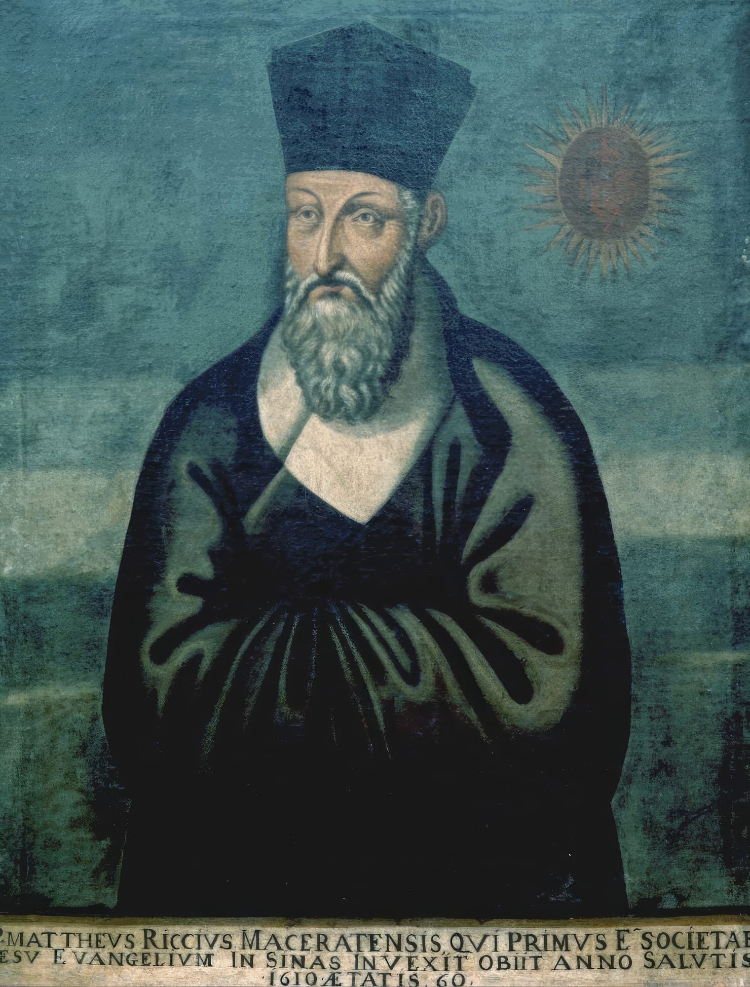
Central to her research is the 1602 world map known as the Kunyu Wanguo Quantu, published in Beijing by the Italian Jesuit missionary Matteo Ricci. While mainstream scholarship generally regards the map as largely derived from European sources, Dr Wang contends that the evidence points toward a much older Chinese cartographic tradition that predates European exploration of many regions depicted on the map.
In this first instalment of our interview series, Dr Wang discusses the origins of her research, the mysteries surrounding the Kunyu Wanguo Quantu, and why she believes long-established narratives of global exploration deserve closer scrutiny.
What first inspired you to investigate the possibility that Chinese explorers reached distant parts of the world before the European Age of Discovery?
The first time I sensed that Chinese explorers might have reached distant parts of the world in the pre-Columbian era was during my reading of Ming historical novelist Luo Maodeng’s 1597 epic book titled San Bao Tai Jian Xi Yang Ji (《三宝太监西洋记》), translated as An Account of the Western World Voyage of the San Bao Eunuch. Luo describes vividly that after the great Ming Admiral Zheng He visited Mecca, he insisted on sailing further west, believing that “Earth has 3600 axes; how can it end here?” He then led the Treasure Fleet westward, sailing day and night without stopping for nearly 100 days.
My interpretation is that the fleet may have been crossing the Atlantic from the Indian Ocean by following the Agulhas and Benguela currents. Luo’s narrative continues with descriptions of further sailing, dense fog, dark skies and a yellow-grass-covered cliff before the sailors arrived on a vast snow-covered continent.
What struck me was that Luo Maodeng’s description of the geographical environment, climate, ocean currents, timelines and conditions corresponds remarkably well with what we know today about a trans-Atlantic crossing from Africa to Canada.
No other Chinese or Western record has ever presented such a realistic navigational route and timeline for Zheng He’s final voyage from Mecca to what appears to be the Labrador coast. That prompted me to think that the account could not have been based entirely on imagination.
Your new book challenges long-established Eurocentric narratives of exploration. What was the turning point when you felt the evidence became too strong to ignore?
The turning point was when I began to analyse the oldest existing ancient world map – Kunyu Wanguo Quantu – written in Chinese. The map was published in Beijing in 1602 by the Italian priest Matteo Ricci. However, its latitudinal system differs from the European system, and the map itself appears far more advanced than contemporary European maps. As I examined it more closely, I began to doubt the mainstream assumption that the map was fundamentally European in origin.
Why is the Kunyu Wanguo Quantu so central to your argument about pre-Columbian Chinese global exploration?
Even though we all learn that Christopher Columbus discovered America and that Europeans ushered in the Age of Discovery, there remains an important enigma within ancient Western cartography: why were many supposedly “unknown” places already mapped before their accepted dates of European discovery? I came to believe that resolving this enigma requires considering China’s role as the world’s strongest maritime power at the time. To explore the world, navigators need maps. The Kunyu Wanguo Quantu became central to my argument for several reasons.
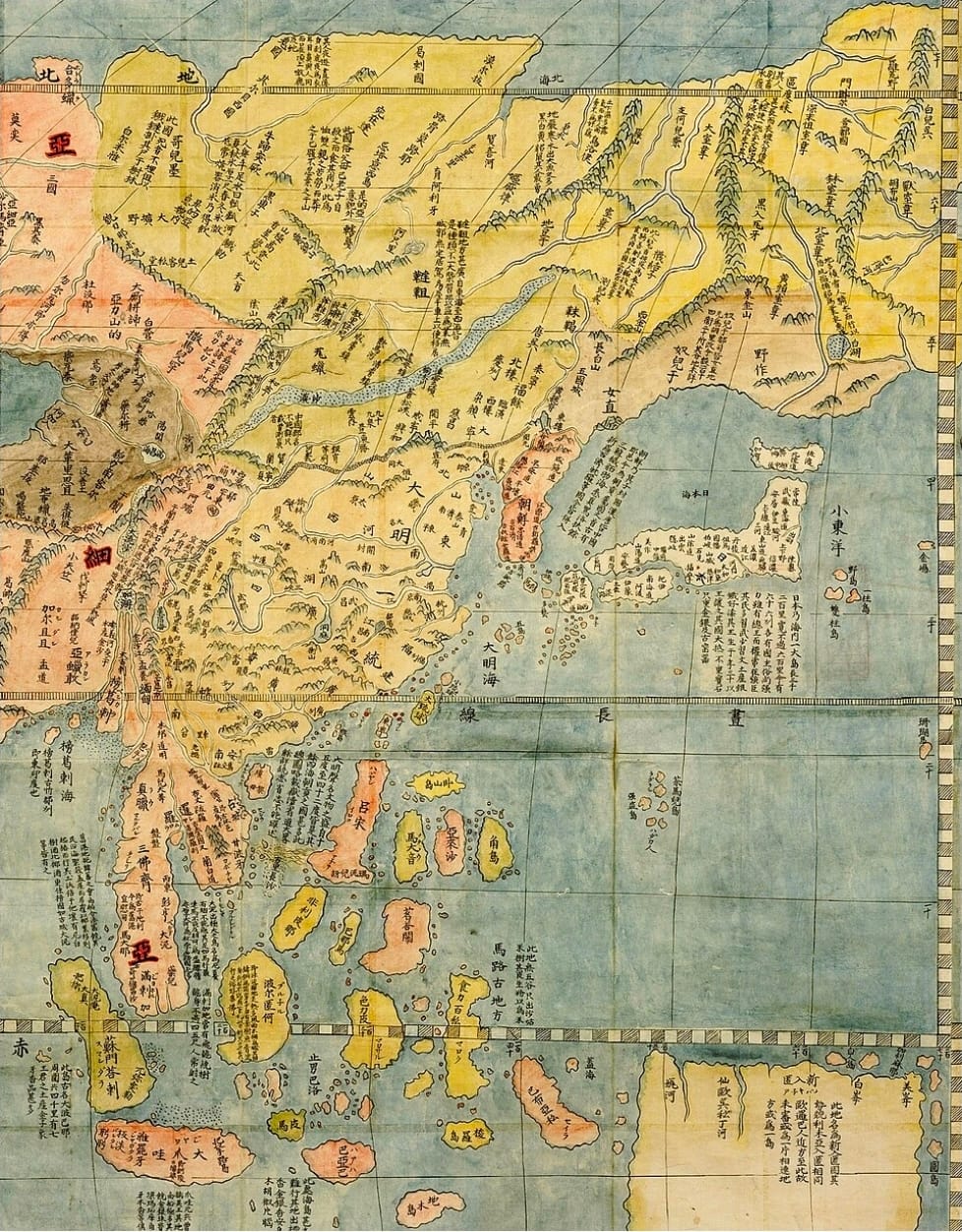
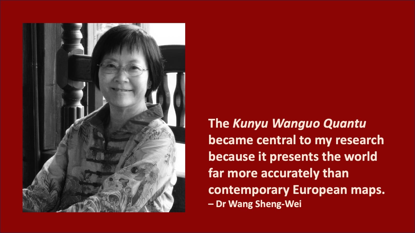
First, it has been referred to as the “Impossible Black Tulip of Cartography” because it presents the world far more accurately than contemporary European maps.
Second, every word on the map is written in Chinese.
Third, the map contains numerous Chinese geographical names, Chinese cultural references and a Chinese-based latitudinal system.
Fourth, the historical eras represented by the kingdoms, cities and place names depicted on the map are significantly older than 1602, the year when Matteo Ricci published it and predate European arrival in those regions.
Based on these findings, I conclude that the map’s content challenges Matteo Ricci’s claimed date and raises fundamental questions about long-standing Eurocentric narratives of discovery.
Do you see your work primarily as historical revisionism, cartographic analysis, or a broader rethinking of world civilisation history?
Readers can view my work from all these different angles. To me, as an independent scholar with a scientific background, my work has been an earnest effort at seeking truth from facts.
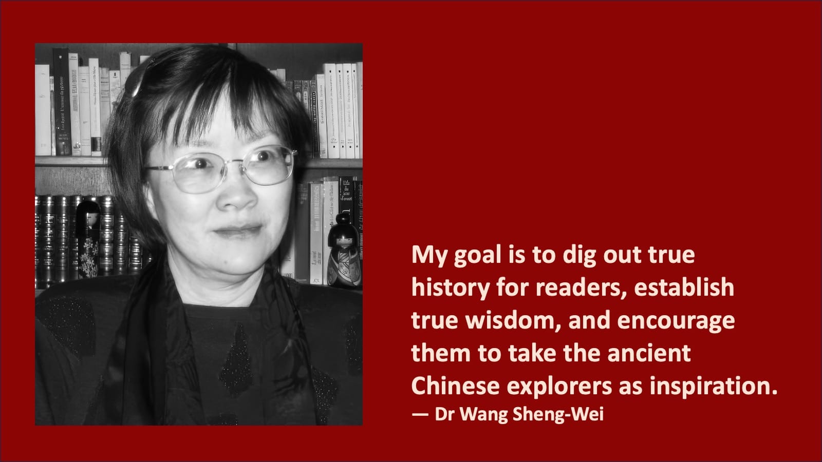
My goal is to dig out true history for readers, establish true wisdom, and encourage them to take the ancient Chinese explorers as inspiration for their own exploration of world civilisation.
In your analysis of the Kunyu Wanguo Quantu, what specific geographical details convinced you that the map contained knowledge unavailable to Europeans at that time?
There are many examples. The map generally provides a more accurate geographical representation of the world than contemporary European maps. It contains numerous geographical names of Chinese origin and many place names that do not appear on contemporary European maps.
The annotations are also significant. The map includes extensive notes describing cultural, political and geographical characteristics. Many of these annotations display uniquely Chinese perspectives, whereas European maps of the same period often contain few or no such annotations.
Most importantly, the historical eras represented by the map’s content are not only much older than 1602 but also predate European arrival in many of the regions shown. Taken together, these features convinced me that the map preserved knowledge unavailable to Europeans at the time.
Your book compares the map with major European maps of the 16th century. What similarities or anomalies stood out most strongly?
Depending on the region, there are both similarities and differences. For example, Kunyu Wanguo Quantu repeats certain errors found on European maps, including inaccurate river systems in Africa and the depiction of the non-existent Terra Australis Incognita. However, the differences are much more striking.
The map contains many geographical names and annotations absent from European maps. In general, it presents a significantly more accurate depiction of the world, particularly in East Asia. One curious exception is the absence of the River Ganges in India, which European maps depicted correctly.
Critics often argue that Matteo Ricci’s map was fundamentally European in origin. How do you respond?
My concern is that critics have not provided concrete evidence to support the claim that the map was fundamentally European in origin. Nor have they offered any convincing arguments showing that my analysis is incorrect. In my research, whenever I find no evidence supporting Eurocentric claims, I explain my reasons.
I have also pointed out that Matteo Ricci appears to have undertaken editorial work to make some geographical names appear more European. He also introduced certain features of European origin, including the erroneous Terra Australis Incognita and the non-existent Lake Chiamay (or Chimay).
You discuss more than 1,000 geographical terms and several dozens of annotations in the map. Were there any discoveries during your research that genuinely surprised you?
Very much so. When I began the project, I had no idea where the evidence would lead. I approached the work like Sherlock Holmes, following the evidence wherever it led. I spent years researching the histories and locations of every geographical term using a consistent analytical method. What surprised me most was the consistency of the results.
The historical eras represented by the map’s content repeatedly pointed to dates that predated European arrival in the regions concerned. Those dates stood in stark contrast to Matteo Ricci’s claimed date for the map and ultimately led me to conclude that the evidence supported a Chinese origin for much of the underlying geographical knowledge.
How important is linguistic and etymological analysis in interpreting ancient cartographic records?
It is very important. Linguistic and etymological analysis helps identify the origins of geographical names and determine when, why and by whom names were given or changed. In the case of Kunyu Wanguo Quantu, such analysis allows researchers to establish the historical era represented by specific locations. Throughout my investigation, linguistic and etymological analysis formed an essential component of understanding the map’s origins and historical context.
Re-examining historical narratives
For Dr Wang Sheng-wei, the debate surrounding pre-Columbian exploration is not simply about who reached which shore first. It is about re-examining historical assumptions and asking whether important chapters of global history have been overlooked. Her research into the Kunyu Wanguo Quantu challenges conventional interpretations of one of the world’s most famous maps and raises broader questions about the flow of geographical knowledge before the European Age of Discovery. Whether scholars ultimately accept or reject her conclusions, her work has reopened discussion about the role of China in the history of global exploration.
In Parts Two and Three, Dr Wang turns her attention to one of the most controversial aspects of her research: the hidden history of New Zealand, the discoveries of surveyor TC Bell and evidence she believes points to an early Chinese presence in the South Pacific. They will be published shortly.



